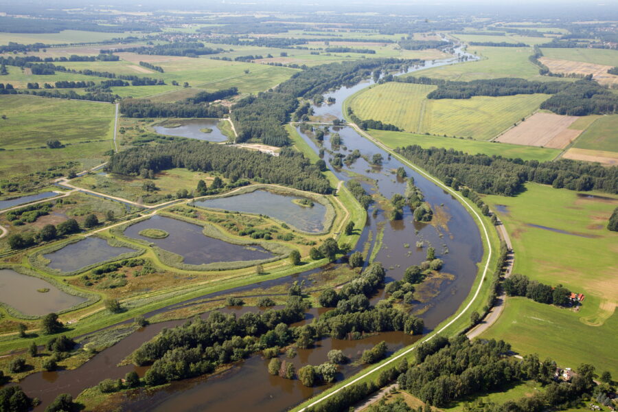
Clean water starts with clean data.
Welcome to WISKI. The Water Information System from KISTERS.
Our all-in-one software solution and premier data management system for all things water.

Just a few of our partners who trust WISKI.


Introducing WISKI.
Our all-in-one software solution and premier data management system makes it easy to collect, analyse and share critical data across environmental, urban and operational applications – empowering your team to make the decisions that shape tomorrow.
Whether you’re managing hydrometric networks, monitoring water quality, forecasting weather events, assessing biodiversity, or overseeing urban and operational water systems, WISKI transforms diverse, disorganised data into unified insights, helping you get to the right answers sooner.
Book your demo now
Why choose WISKI?
- Secure, unlimited storage
- Compare data across sources
- Full team collaboration
- Automated quality control
- Data-editing tools
- Streamlined data processing
- Analytics, reporting and alerts
- Free updates
- Add-ons & customisation options
- Access your data on-premise or via the web
- 24/7 access to expert support

WISKI can help with...
- Hydrological measurements
- Groundwater analysis
- Biodiversity sampling
- Meterological measurement
- Flooding and disaster management
Customised to your needs.
Our range of WISKI extensions offer tailored solutions to meet the various needs of different industries. Arrange a consultation and we’ll identify a bespoke solution for your organisation.
Request a consultationExplore the WISKI extensions
Easily share your data online
With WISKI Web

Easily share your data online
Responsive, customisable and user-friendly, WISKI Web allows you to effortlessly visualise and publish your environmental data online – giving your team, and the public, the critical environmental information they need to move forward and drive meaningful change.
Why choose WISKI web?
Simple navigation
Make your data accessible to everyone with sites designed to international web standards.
Responsive design
Give every user full accessibly, no matter which device they’re using.
Easy installation
All WISKI Web’s basic features are quick and simple to configure.
Seamless integration
WISKI Web can easily be connected to all KISTERS solutions and third-party systems.
Flexible hosting
Choose to host your WISKI Web on-premises, intranet, internet or through the WISKI Cloud.
Tailored solutions
Customise your WISKI Web according to your own specific requirements.
Versatile applications
Reach the right audiences across a wide range of applications with robust data integration.
Want to learn more?
Book your demoOptimise your water quality measurement
With KiWQM and KiECO

Optimise your water quality measurement
Bringing you advanced levels of automation, quality control and data visualisation, our water quality modules KiWQM and KiECO make managing – and reporting on – valuable ecological data easier than ever before.
Why choose WISKI KiWQM and KiECO?
Watershed analysis
Develop a holistic understanding of your water data with everything in one place.
QA/QC automation
Automate quality control, validate data values and verify spot samples.
Data optimisation
Improve the quality of your data, identify trends, and easily pinpoint suspect data.
Report generation
Translate, calculate and share environmental health report cards with the public.
Tailored solutions
Customise your WISKI Web according to your own specific requirements.
Comprehensive reporting
Plan, store, analyse and share multidisciplinary datasets in one single system.
User-defined flexibility
Track methodologies, properties and codes without waiting for administrator permissions.
Unlimited storage
Guarantee extensive biological survey record keeping that meets quality assurance protocols.
QAPP compliance
Meet Quality Assurance Project Plan requirements with extensive metadata storage.
Want to learn more?
Book your demoAdvanced insights from your data
With KISTERS Analytics

Advanced insights from your data
Organisations can now enhance their data analysis with KISTERS Analytics, going beyond existing functionalities to seamlessly couple, visualise and control customised processes or models through this innovative interface between data and processes.
Why choose KISTERS Analytics?
An all-in-one solution
A robust core framework with centralised control, granular monitoring, automation and the ability to connect WISKI to open-source programming. Seamless integration of virtually any algorithm or application, including other KISTERS applications such as real-time optimisation and data validation.
Advanced data processing
Easily link your data to algorithms, regardless of source, and analyse, modify and model across systems. Incorporate, reuse and reconfigure any algorithm as needed, and reuse DMS configurations across diverse systems. Enjoy on-the-fly and online monitoring, resolve system issues quickly, customise workflows and more.
An ever-growing catalogue
Build your own catalogue of data analysis and modelling processes, reuse existing algorithms, or choose between in-house development with a user-friendly interface or development by KISTERS.
Developed with industry
Developed with deep industry expertise, this product has a growing catalogue of proven methodologies and models that can be applied across multiple sectors.
Endless development possibilities
Experience comprehensive services that go beyond algorithm customisation and integration, with KISTERS' round-the-clock support and expert advice. Let's work together to design a data processing programme that meets your needs.
Meet evolving business needs
Studies show that advanced analytics software can boost productivity and efficiency by 5-10% and deliver up to 5x higher ROI on data investments (Gartner Group).
Want to learn more?
Book your demoCollect accurate data – anywhere
With WISKI FieldVisits

Collect accurate data – anywhere
Say goodbye to time-consuming manual processes. KISTERS FieldVisits is a mobile app and ultimate tool for seamless field data collection. Designed with technicians and field workers in mind, FieldVisits allows users to effortlessly capture critical information, even in remote areas without network connectivity.
With FieldVisits, you can streamline your processes with an intuitive interface that simplifies every step of the way. From automating tasks to reducing errors with validation rules, we’ve thought of everything to make your job easier.
But that’s not all. FieldVisits goes beyond data entry. Visualise and annotate observations right where they happen, ensuring clarity and accuracy every time. And with built-in support features, you can access relevant documents and manuals on the fly, ensuring your field staff always have the resources they need to succeed.
Why choose WISKI FieldVisits?
Easy to use
Discover an intuitive, user-friendly interface designed to easily capture and standardise data.
Broadly applicable
FieldVisits is designed to measure a wide variety of parameters over long periods.
Process simplification
Replace notebooks and spreadsheets with a fast, secure, customisable platform.
Error reduction
Warning messages and custom validation rules mean less input errors and more accurate data.
In-field visualisation
Easily view, compare and confirm historical trends and new observations.
Preliminary automation
Input your own rules to ensure essential data fields are captured in every field visit.
Observation enhancement
Attach photos and videos and add notes to make observations even more detailed and useful.
Inbuilt support
Link to relevant PDFs and equipment manuals to help field staff to success.
Want to learn more?
Book your demoEnsure data accuracy
With WISKI Validation

Ensure data accuracy
Check, fix and validate your time-series data with WISKI Validation – then create clear, sharable reports to ensure one single source of truth for your entire team.
Why choose WISKI Validation?
Data validation
Discover an intuitive, user-friendly interface designed to easily capture and standardise data.
Change reports
FieldVisits is designed to measure a wide variety of parameters over long periods.
Custom rules
Replace notebooks and spreadsheets with a fast, secure, customisable platform.
Flexible scheduling
Warning messages and custom validation rules mean less input errors and more accurate data.
Result visualisation
Easily view, compare and confirm historical trends and new observations.
Want to learn more?
Book your demo
Learn more about WISKI.


Your questions answered.
How does WISKI work?
WISKI is an all-in-one water information management system that allows you to efficiently monitor networks, parameters and time-series data. Not only does it import, archive, validate and analyse data, it also produces clear, sharable reports, tables, graphs and observations – giving you comprehensive insight into your monitoring network like never before.
Who is WISKI for?
WISKI is designed to simplify data monitoring across a huge range of fields, specialities and networks – including hydrology, meteorology, groundwater, flood forecasting, water quality control, urban water systems and dam operations. Our current customers range from environmental
agencies and municipalities to engineering firms, utility providers, hydropower producers, dam operators and mining companies – with more joining us every year.
How does WISKI improve decision-making?
By transforming vast amounts of diverse, disorganised information into data that your entire team can access, understand and analyse, WISKI gives you the confidence to take effective, decisive action – from the field to the boardroom and into the public domain.
How can WISKI meet my needs?
From single users to large teams, WISKI can be flexibly scaled to meet different language requirements, eliminate data redundancy, and ensure that data is available to everyone. It integrates seamlessly into on-premise servers or SaaS environments, and you can even extend its functionality
with integrated software modules. In fact, WISKI’s capacity for customisation is endless – it’s designed to grow and flex as the needs of your organisation change.
How can WISKI save me time?
WISKI reduces your team’s manual workload, streamlining data processing and simplifying data validation – so you can focus on more critical tasks. With its secure, unlimited storage capacity, you can access master data quickly, understand it at all levels, and easily share findings across disciplines.